


Cévennes

margotjl
User

Length
357 m

Max alt
871 m

Uphill gradient
14 m
Km-Effort
497 m

Min alt
857 m

Downhill gradient
0 m
Boucle
No
Creation date :
2022-11-25 08:53:50.0
Updated on :
2022-11-25 14:07:55.695
5h13
Difficulty : Difficult

FREE GPS app for hiking
 SityTrail
IGN / Geographical institutes
SityTrail Plus
The world is yours!
About
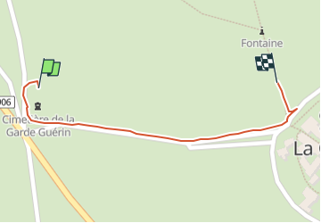
Trail Walking of 357 m to be discovered at Occitania, Lozère, Prévenchères. This trail is proposed by margotjl.
Photos


Positioning
Country:
France
Region :
Occitania
Department/Province :
Lozère
Municipality :
Prévenchères
Location:
Unknown
Start:(Dec)
Start:(UTM)
574051 ; 4925411 (31T) N.
Comments