


autour de bronromme et monthouet

stef789
User GUIDE
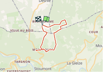

Length
10.7 km

Max alt
573 m

Uphill gradient
217 m
Km-Effort
13.6 km

Min alt
450 m

Downhill gradient
220 m
Boucle
Yes
Creation date :
2022-11-26 09:41:40.141
Updated on :
2022-11-26 12:14:53.433
2h31
Difficulty : Easy

FREE GPS app for hiking
 SityTrail
IGN / Geographical institutes
SityTrail Plus
The world is yours!
About
Trail Walking of 10.7 km to be discovered at Wallonia, Liège, Theux. This trail is proposed by stef789.
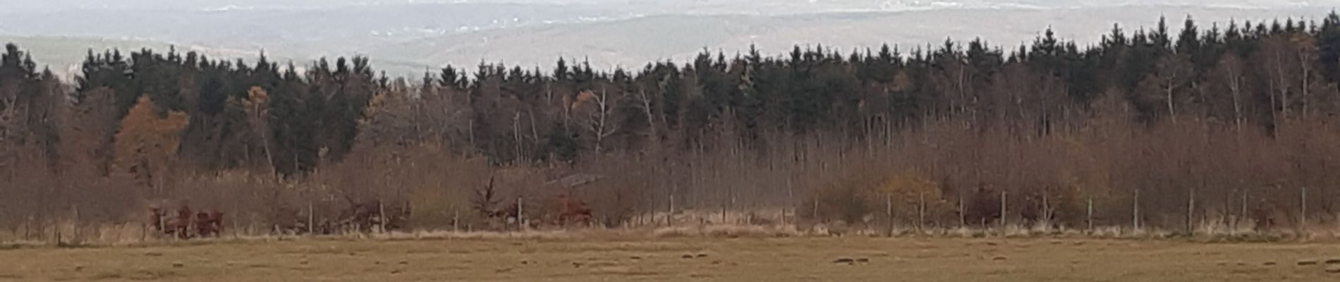
Photos


Positioning
Country:
Belgium
Region :
Wallonia
Department/Province :
Liège
Municipality :
Theux
Location:
La Reid
Start:(Dec)
Start:(UTM)
699371 ; 5591303 (31U) N.
Comments
attention au chemin inexistant( sous la ligne à haute tension)