


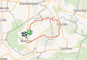
Blauzac capitelles

Dupuybadonniere
User

Length
14.7 km

Max alt
164 m

Uphill gradient
250 m
Km-Effort
18 km

Min alt
58 m

Downhill gradient
239 m
Boucle
No
Creation date :
2022-10-30 08:45:47.657
Updated on :
2022-12-18 12:50:21.29
3h38
Difficulty : Difficult

FREE GPS app for hiking
 SityTrail
IGN / Geographical institutes
SityTrail Plus
The world is yours!
About
Trail Walking of 14.7 km to be discovered at Occitania, Gard, Blauzac. This trail is proposed by Dupuybadonniere.
Positioning
Country:
France
Region :
Occitania
Department/Province :
Gard
Municipality :
Blauzac
Location:
Unknown
Start:(Dec)
Start:(UTM)
609814 ; 4868905 (31T) N.
Comments