


croix de colomban OR 2023

LUCIE2016
User

Length
9.1 km

Max alt
1730 m

Uphill gradient
475 m
Km-Effort
15.4 km

Min alt
1459 m

Downhill gradient
473 m
Boucle
Yes
Creation date :
2022-12-18 16:41:43.066
Updated on :
2022-12-19 11:53:59.964
3h29
Difficulty : Difficult

FREE GPS app for hiking
 SityTrail
IGN / Geographical institutes
SityTrail Plus
The world is yours!
About
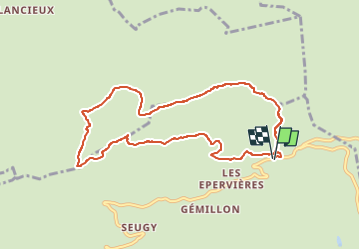
Trail Walking of 9.1 km to be discovered at Auvergne-Rhône-Alpes, Upper Savoy, Manigod. This trail is proposed by LUCIE2016.
Description
départ du col de la Croix Fry
Positioning
Country:
France
Region :
Auvergne-Rhône-Alpes
Department/Province :
Upper Savoy
Municipality :
Manigod
Location:
Unknown
Start:(Dec)
Start:(UTM)
298430 ; 5083627 (32T) N.
Comments