


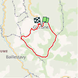


15.2 km | 26 km-effort


User


FREE GPS app for hiking
 SityTrail
IGN / Geographical institutes
SityTrail World
The world is yours!
Trail Walking of 13.1 km to be discovered at Occitania, Pyrénées-Orientales, Glorianes. This trail is proposed by MarieFrancoise.
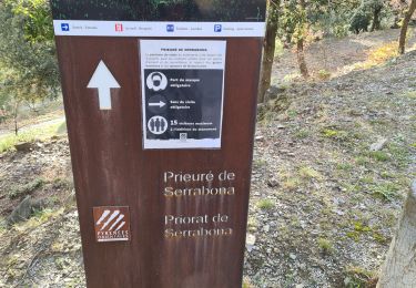
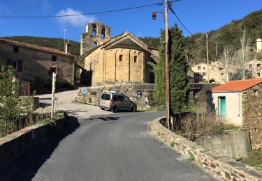
Boucle depuis Glorianes PO
peu de places de parking
ne manquer la pierre gravée !


Walking
Walking

Walking
Walking
Walking

Walking
Walking
Walking

Walking