


Rando stade Leo Lagrange Yerres 12 km

jeanmarcMasson
User GUIDE
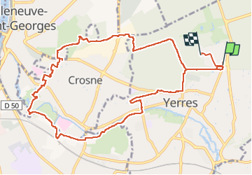

Length
12.4 km

Max alt
98 m

Uphill gradient
120 m
Km-Effort
14 km

Min alt
31 m

Downhill gradient
121 m
Boucle
No
Creation date :
2022-12-21 08:17:43.792
Updated on :
2022-12-21 13:09:36.393
2h32
Difficulty : Difficult

FREE GPS app for hiking
 SityTrail
IGN / Geographical institutes
SityTrail Plus
The world is yours!
About
Trail Walking of 12.4 km to be discovered at Ile-de-France, Essonne, Yerres. This trail is proposed by jeanmarcMasson.
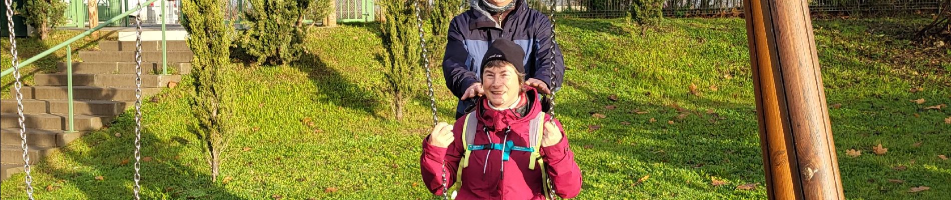
Photos

Positioning
Country:
France
Region :
Ile-de-France
Department/Province :
Essonne
Municipality :
Yerres
Location:
Unknown
Start:(Dec)
Start:(UTM)
463102 ; 5396780 (31U) N.
Comments