


Sur les terres de Monferran Saves

CDSM 55
User


Length
8 km

Max alt
225 m

Uphill gradient
123 m
Km-Effort
9.7 km

Min alt
164 m

Downhill gradient
123 m
Boucle
Yes
Creation date :
2022-12-21 13:59:39.514
Updated on :
2022-12-22 07:35:00.361
1h33
Difficulty : Medium

FREE GPS app for hiking
 SityTrail
IGN / Geographical institutes
SityTrail Plus
The world is yours!
About
Trail Walking of 8 km to be discovered at Occitania, Gers, Monferran-Savès. This trail is proposed by CDSM 55.
Description
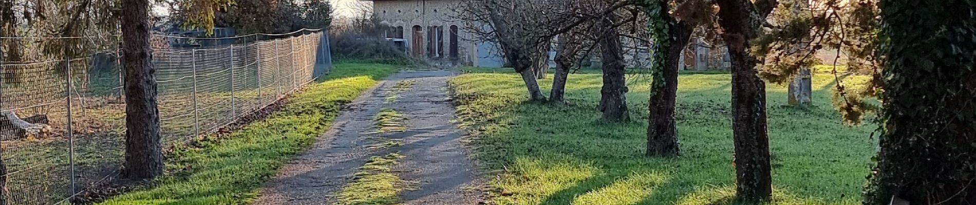
une balade par une belle journée d'hiver !!!??? Ah oui, on dirait pas que c'est le jour le plus court de l'année..
Photos


Positioning
Country:
France
Region :
Occitania
Department/Province :
Gers
Municipality :
Monferran-Savès
Location:
Unknown
Start:(Dec)
Start:(UTM)
337881 ; 4828431 (31T) N.
Comments