


Tellin 221222

guyernage25
User
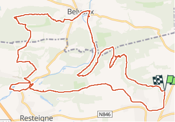

Length
17.7 km

Max alt
288 m

Uphill gradient
341 m
Km-Effort
22 km

Min alt
170 m

Downhill gradient
340 m
Boucle
Yes
Creation date :
2022-12-22 08:51:57.354
Updated on :
2022-12-22 13:47:23.125
4h31
Difficulty : Medium

FREE GPS app for hiking
 SityTrail
IGN / Geographical institutes
SityTrail Plus
The world is yours!
About
Trail Walking of 17.7 km to be discovered at Wallonia, Luxembourg, Tellin. This trail is proposed by guyernage25.
Description
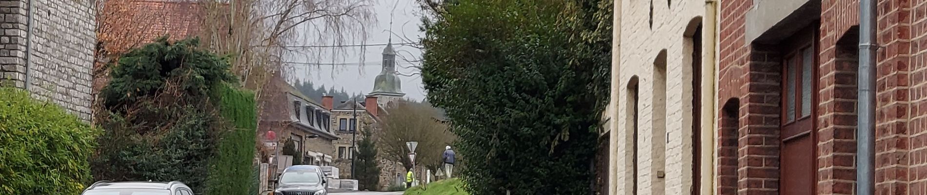
Jolie balade forestiere avec de belles vues sur la Lesse.
Photos


23 photos in total. Please click on a photo to see them all in the gallery.
Positioning
Country:
Belgium
Region :
Wallonia
Department/Province :
Luxembourg
Municipality :
Tellin
Location:
Unknown
Start:(Dec)
Start:(UTM)
659040 ; 5550890 (31U) N.
Comments