


ses les terres de Monferran Saves et plus

CDSM 55
User
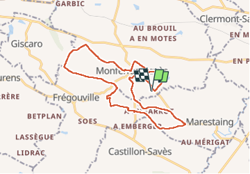

Length
18.6 km

Max alt
238 m

Uphill gradient
296 m
Km-Effort
23 km

Min alt
160 m

Downhill gradient
296 m
Boucle
Yes
Creation date :
2022-12-23 07:57:30.745
Updated on :
2022-12-23 11:38:55.936
3h37
Difficulty : Difficult

FREE GPS app for hiking
 SityTrail
IGN / Geographical institutes
SityTrail Plus
The world is yours!
About
Trail Walking of 18.6 km to be discovered at Occitania, Gers, Monferran-Savès. This trail is proposed by CDSM 55.
Description
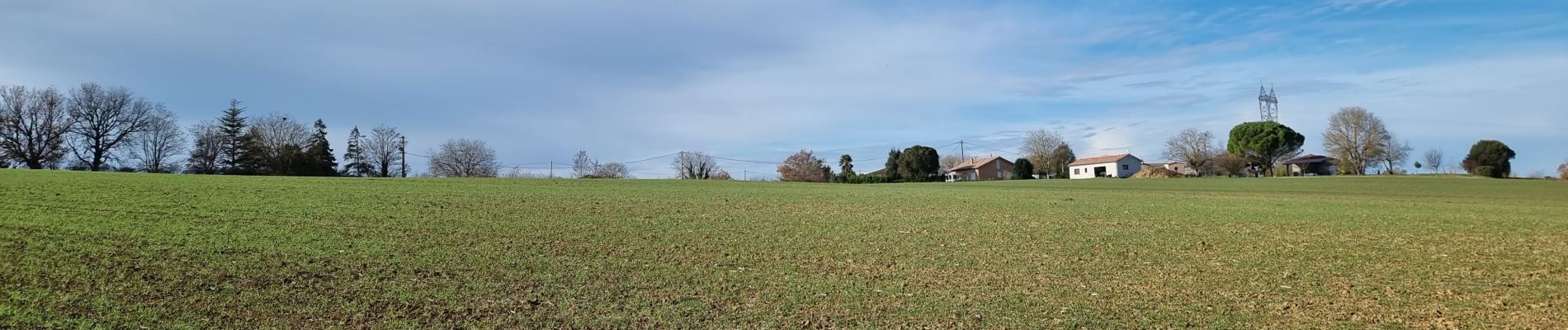
bien sympa juste à éviter un bout de bord de ruisseau non amenage
Photos


Positioning
Country:
France
Region :
Occitania
Department/Province :
Gers
Municipality :
Monferran-Savès
Location:
Unknown
Start:(Dec)
Start:(UTM)
337878 ; 4828420 (31T) N.
Comments
un temps de printemps pour une belle balade un peu exigente Nicolas