


hte chaumes hte loge bipierre

Titinechris
User
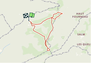

Length
13.6 km

Max alt
925 m

Uphill gradient
438 m
Km-Effort
19.4 km

Min alt
684 m

Downhill gradient
436 m
Boucle
Yes
Creation date :
2022-12-28 07:16:38.025
Updated on :
2022-12-28 07:22:40.243
3h58
Difficulty : Difficult

FREE GPS app for hiking
 SityTrail
IGN / Geographical institutes
SityTrail Plus
The world is yours!
About
Trail Walking of 13.6 km to be discovered at Grand Est, Vosges, Moussey. This trail is proposed by Titinechris.
Positioning
Country:
France
Region :
Grand Est
Department/Province :
Vosges
Municipality :
Moussey
Location:
Unknown
Start:(Dec)
Start:(UTM)
357864 ; 5370326 (32U) N.
Comments