


Panorama

c.chehere
User


Length
6.8 km

Max alt
167 m

Uphill gradient
111 m
Km-Effort
8.3 km

Min alt
90 m

Downhill gradient
108 m
Boucle
Yes
Creation date :
2022-12-29 13:40:29.494
Updated on :
2022-12-29 15:50:14.492
1h48
Difficulty : Medium

FREE GPS app for hiking
 SityTrail
IGN / Geographical institutes
SityTrail Plus
The world is yours!
About
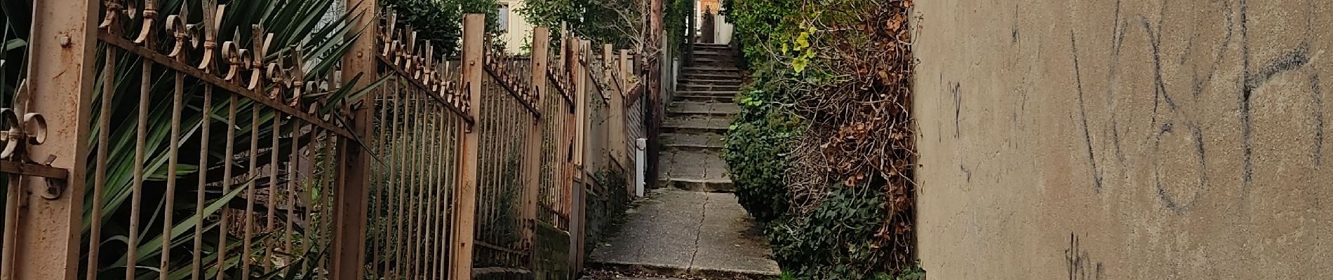
Trail Walking of 6.8 km to be discovered at Ile-de-France, Hauts-de-Seine, Fontenay-aux-Roses. This trail is proposed by c.chehere.
Photos


Positioning
Country:
France
Region :
Ile-de-France
Department/Province :
Hauts-de-Seine
Municipality :
Fontenay-aux-Roses
Location:
Unknown
Start:(Dec)
Start:(UTM)
448300 ; 5404984 (31U) N.
Comments