


20221231

fredodlageo
User
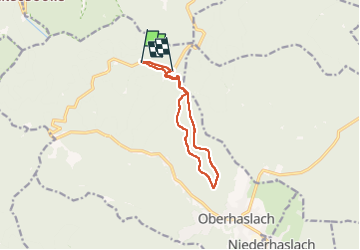

Length
10.7 km

Max alt
644 m

Uphill gradient
355 m
Km-Effort
15.4 km

Min alt
498 m

Downhill gradient
349 m
Boucle
No
Creation date :
2022-12-31 14:29:59.0
Updated on :
2022-12-31 16:51:03.792
2h20
Difficulty : Difficult

FREE GPS app for hiking
 SityTrail
IGN / Geographical institutes
SityTrail Plus
The world is yours!
About
Trail Walking of 10.7 km to be discovered at Grand Est, Bas-Rhin, Oberhaslach. This trail is proposed by fredodlageo.
Description
Randonnée des châteaux Alexis,izzie
Positioning
Country:
France
Region :
Grand Est
Department/Province :
Bas-Rhin
Municipality :
Oberhaslach
Location:
Unknown
Start:(Dec)
Start:(UTM)
374412 ; 5382834 (32U) N.
Comments