


Valloirette

alfreson
User
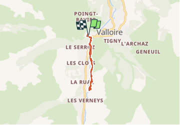

Length
4.4 km

Max alt
1563 m

Uphill gradient
131 m
Km-Effort
6.1 km

Min alt
1439 m

Downhill gradient
132 m
Boucle
Yes
Creation date :
2023-01-09 13:29:02.0
Updated on :
2023-01-09 14:48:45.884
1h19
Difficulty : Medium

FREE GPS app for hiking
 SityTrail
IGN / Geographical institutes
SityTrail Plus
The world is yours!
About
Trail Walking of 4.4 km to be discovered at Auvergne-Rhône-Alpes, Savoy, Valloire. This trail is proposed by alfreson.
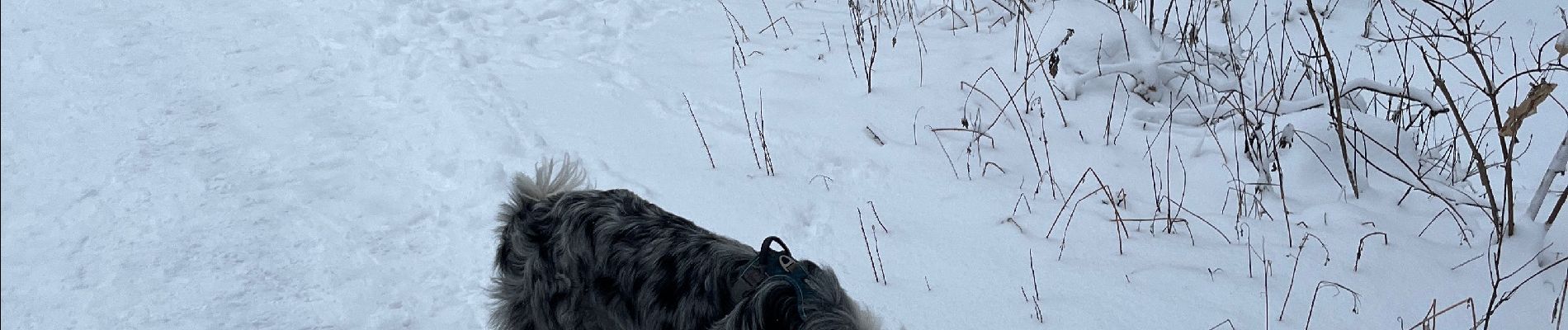
Photos


Positioning
Country:
France
Region :
Auvergne-Rhône-Alpes
Department/Province :
Savoy
Municipality :
Valloire
Location:
Unknown
Start:(Dec)
Start:(UTM)
297379 ; 5004439 (32T) N.
Comments