


Mas Teissier

Dupuybadonniere
User
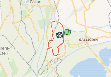

Length
8.8 km

Max alt
33 m

Uphill gradient
73 m
Km-Effort
9.8 km

Min alt
3 m

Downhill gradient
72 m
Boucle
No
Creation date :
2023-01-12 13:01:32.805
Updated on :
2023-01-12 15:13:14.963
2h01
Difficulty : Medium

FREE GPS app for hiking
 SityTrail
IGN / Geographical institutes
SityTrail Plus
The world is yours!
About
Trail Walking of 8.8 km to be discovered at Occitania, Gard, Vauvert. This trail is proposed by Dupuybadonniere.
Positioning
Country:
France
Region :
Occitania
Department/Province :
Gard
Municipality :
Vauvert
Location:
Unknown
Start:(Dec)
Start:(UTM)
602486 ; 4833049 (31T) N.
Comments