


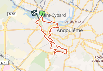
La rando d'Angoulême entre ville et campagne

alainjoseph6
User

Length
8.1 km

Max alt
98 m

Uphill gradient
130 m
Km-Effort
9.9 km

Min alt
28 m

Downhill gradient
129 m
Boucle
Yes
Creation date :
2023-01-05 12:59:24.896
Updated on :
2023-01-12 15:25:07.987
2h59
Difficulty : Medium

FREE GPS app for hiking
 SityTrail
IGN / Geographical institutes
SityTrail Plus
The world is yours!
About
Trail Walking of 8.1 km to be discovered at New Aquitaine, Charente, Angoulême. This trail is proposed by alainjoseph6.
Description
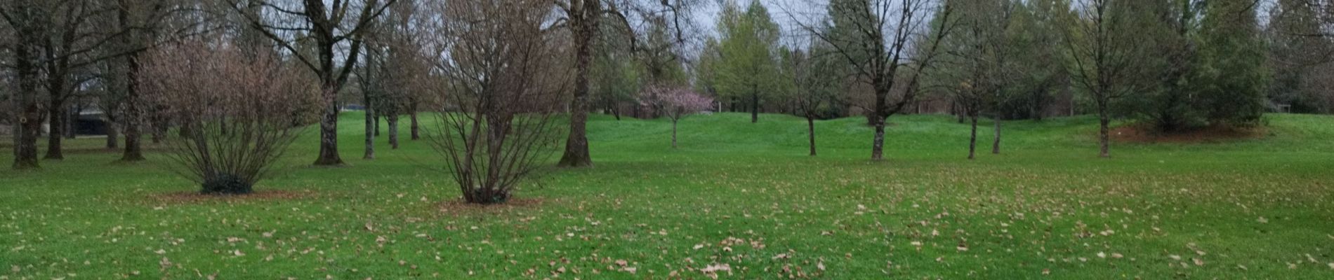
une découverte d'Angoulême de ses parcs et sentiers autour de la ville.
Photos


Positioning
Country:
France
Region :
New Aquitaine
Department/Province :
Charente
Municipality :
Angoulême
Location:
Unknown
Start:(Dec)
Start:(UTM)
277073 ; 5059781 (31T) N.
Comments