


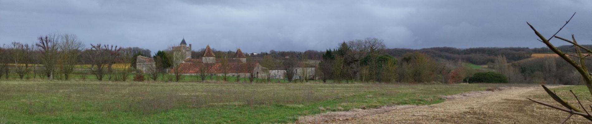
Villejoubert et le château de la Barre

alainjoseph6
User


Length
7.4 km

Max alt
120 m

Uphill gradient
91 m
Km-Effort
8.6 km

Min alt
72 m

Downhill gradient
92 m
Boucle
Yes
Creation date :
2023-01-12 13:06:58.596
Updated on :
2023-01-26 07:38:20.325
2h17
Difficulty : Medium

FREE GPS app for hiking
 SityTrail
IGN / Geographical institutes
SityTrail Plus
The world is yours!
About
Trail Walking of 7.4 km to be discovered at New Aquitaine, Charente, Villejoubert. This trail is proposed by alainjoseph6.
Description
une randonnée cool où l'on découvre le château de la Barre du 16 ieme siècle.
Photos


Positioning
Country:
France
Region :
New Aquitaine
Department/Province :
Charente
Municipality :
Villejoubert
Location:
Unknown
Start:(Dec)
Start:(UTM)
280404 ; 5076042 (31T) N.
Comments