


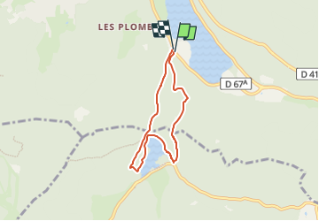
du lac de longemer aux rives de Lispach

lepompi
User


2h13
Difficulty : Difficult

FREE GPS app for hiking
 SityTrail
IGN / Geographical institutes
SityTrail Plus
The world is yours!
About
Trail Walking of 5.6 km to be discovered at Grand Est, Vosges, Xonrupt-Longemer. This trail is proposed by lepompi.
Description
conseillé de faire la randonnée dans le "bon" sens ! par temps sec ou en étant bien équipé ( bonnes chaussures ,genoux neufs !) longue et rude montée au départ puis ,plus facile ,pour terminer par descende très pentue . Le panneau indiquant " chemin technique" n'est pas là pour rien !
Positioning
Comments