


partie 2 les blaireaux

Tommy Eric
User
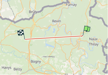

Length
19.1 km

Max alt
415 m

Uphill gradient
620 m
Km-Effort
28 km

Min alt
138 m

Downhill gradient
669 m
Boucle
No
Creation date :
2023-01-17 15:07:22.314
Updated on :
2023-01-19 01:22:47.545
11m
Difficulty : Very difficult

FREE GPS app for hiking
 SityTrail
IGN / Geographical institutes
SityTrail Plus
The world is yours!
About
Trail Walking of 19.1 km to be discovered at Grand Est, Ardennes, Monthermé. This trail is proposed by Tommy Eric.
Positioning
Country:
France
Region :
Grand Est
Department/Province :
Ardennes
Municipality :
Monthermé
Location:
Unknown
Start:(Dec)
Start:(UTM)
626266 ; 5528909 (31U) N.
Comments