


MEULERS

juanluco76
User
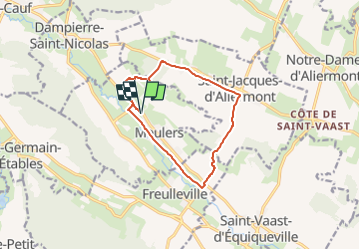

Length
10.3 km

Max alt
166 m

Uphill gradient
180 m
Km-Effort
12.7 km

Min alt
22 m

Downhill gradient
180 m
Boucle
Yes
Creation date :
2023-01-21 16:05:07.282
Updated on :
2023-01-21 16:05:46.709
2h53
Difficulty : Difficult

FREE GPS app for hiking
 SityTrail
IGN / Geographical institutes
SityTrail Plus
The world is yours!
About
Trail Walking of 10.3 km to be discovered at Normandy, Seine-Maritime, Meulers. This trail is proposed by juanluco76.
Positioning
Country:
France
Region :
Normandy
Department/Province :
Seine-Maritime
Municipality :
Meulers
Location:
Unknown
Start:(Dec)
Start:(UTM)
372387 ; 5522765 (31U) N.
Comments