


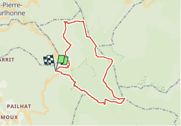

14.5 km | 23 km-effort

User GUIDE


FREE GPS app for hiking
 SityTrail
IGN / Geographical institutes
SityTrail World
The world is yours!
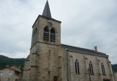
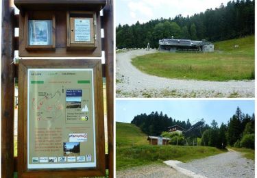
Trail Walking of 15.9 km to be discovered at Auvergne-Rhône-Alpes, Puy-de-Dôme, Job. This trail is proposed by jagarnier.
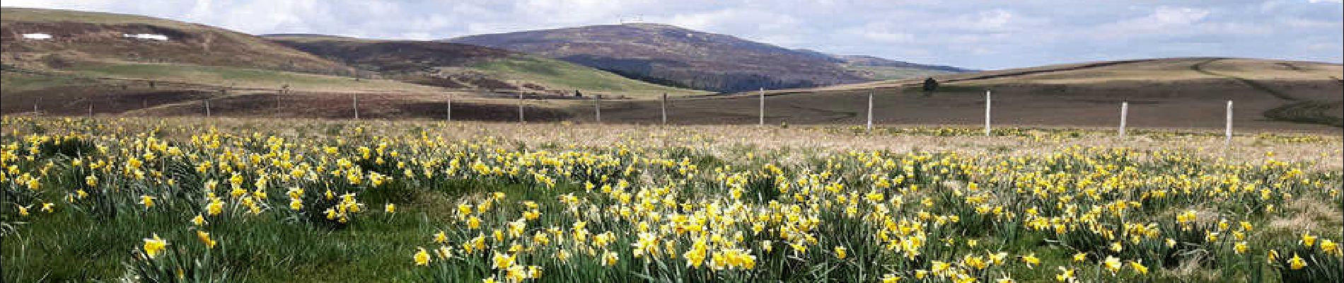
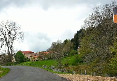
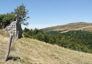
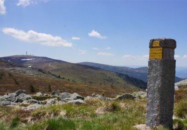
Cette belle et grande randonnée vous conduira sur les sommets des monts du Forez, avec comme objectif Pierre sur Haute, point culminant du massif (1634 m).

On foot
On foot

Walking
On foot
On foot
Walking
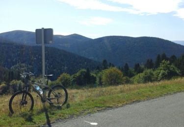
Road bike
Walking
Running