


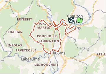
Pradons Gens Abeille 18km

thonyc
User GUIDE


5h50
Difficulty : Difficult

FREE GPS app for hiking
 SityTrail
IGN / Geographical institutes
SityTrail Plus
The world is yours!
About
Trail Walking of 18.9 km to be discovered at Auvergne-Rhône-Alpes, Ardèche, Pradons. This trail is proposed by thonyc.
Description
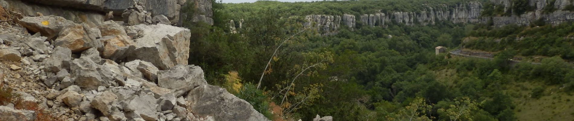
Le parcours est très varié avec de très beaux panoramas: Pradons, Ruoms, le cirque de Gens rives droite et gauche, le hameau de L'Abeille, dolmens.
ATTENTION: la rive gauche du cirque de Gens est plutôt sportive et réservée à des personnes ne souffrant pas de vertige et en bonne forme physique. Traversée du gué sur La Ligne.
Photos


Positioning
Comments