


sagries blauzac

GOIOLIRIBES
User
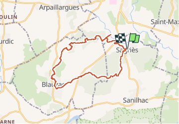

Length
16.4 km

Max alt
164 m

Uphill gradient
277 m
Km-Effort
20 km

Min alt
58 m

Downhill gradient
277 m
Boucle
Yes
Creation date :
2023-01-26 08:14:39.202
Updated on :
2023-01-26 13:35:15.39
5h20
Difficulty : Very difficult

FREE GPS app for hiking
 SityTrail
IGN / Geographical institutes
SityTrail Plus
The world is yours!
About
Trail Walking of 16.4 km to be discovered at Occitania, Gard, Sanilhac-Sagriès. This trail is proposed by GOIOLIRIBES.
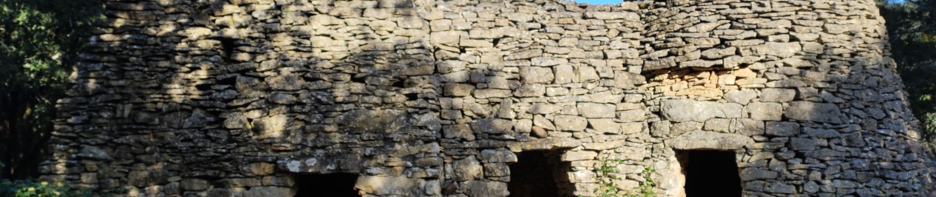
Photos


Positioning
Country:
France
Region :
Occitania
Department/Province :
Gard
Municipality :
Sanilhac-Sagriès
Location:
Unknown
Start:(Dec)
Start:(UTM)
613855 ; 4870584 (31T) N.
Comments