


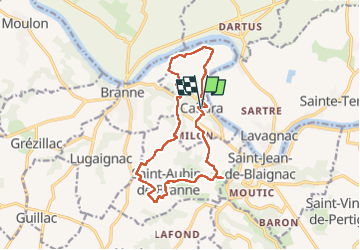

11.8 km | 14.2 km-effort

User


FREE GPS app for hiking
 SityTrail
IGN / Geographical institutes
SityTrail World
The world is yours!
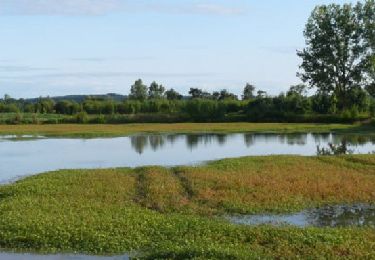
Trail Walking of 14.6 km to be discovered at New Aquitaine, Gironde, Cabara. This trail is proposed by bedous.
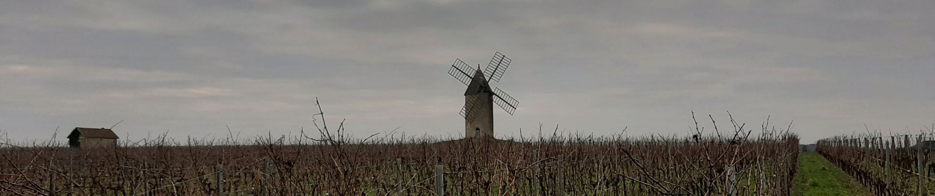
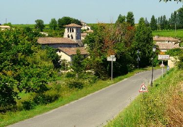
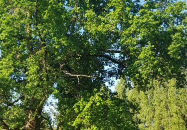
Randonnée entre les vignes ,les bois, le long de la Garonne. Vues sur de superbes demeures, de belles églises, un moulin à vent.


Walking

Walking
Walking
Mountain bike

Walking

Running
Walking
Walking
Walking