


machet-charaille-roulé bacon

Titinechris
User
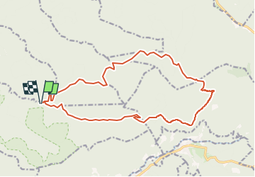

Length
18.2 km

Max alt
760 m

Uphill gradient
742 m
Km-Effort
28 km

Min alt
396 m

Downhill gradient
744 m
Boucle
Yes
Creation date :
2023-01-31 20:57:14.134
Updated on :
2023-01-31 21:24:56.637
0m
Difficulty : Medium

FREE GPS app for hiking
 SityTrail
IGN / Geographical institutes
SityTrail Plus
The world is yours!
About
Trail Trail of 18.2 km to be discovered at Grand Est, Meurthe-et-Moselle, Saint-Sauveur. This trail is proposed by Titinechris.
Positioning
Country:
France
Region :
Grand Est
Department/Province :
Meurthe-et-Moselle
Municipality :
Saint-Sauveur
Location:
Unknown
Start:(Dec)
Start:(UTM)
354160 ; 5376487 (32U) N.
Comments