


Vallorcine /col des Posettes / glacier du tour /Téléphérique Aiguillette

Laurence Lallemand
User
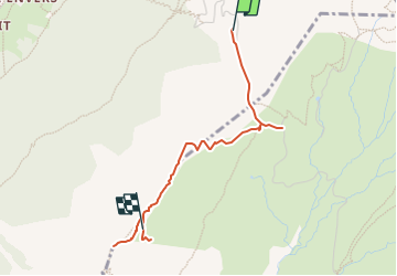

Length
3 km

Max alt
2188 m

Uphill gradient
267 m
Km-Effort
5.8 km

Min alt
1925 m

Downhill gradient
45 m
Boucle
No
Creation date :
2023-02-02 15:36:19.251
Updated on :
2023-02-12 10:38:21.752
1h19
Difficulty : Easy

FREE GPS app for hiking
 SityTrail
IGN / Geographical institutes
SityTrail Plus
The world is yours!
About
Trail Walking of 3 km to be discovered at Auvergne-Rhône-Alpes, Upper Savoy, Vallorcine. This trail is proposed by Laurence Lallemand.
Positioning
Country:
France
Region :
Auvergne-Rhône-Alpes
Department/Province :
Upper Savoy
Municipality :
Vallorcine
Location:
Unknown
Start:(Dec)
Start:(UTM)
341295 ; 5099395 (32T) N.
Comments