


e

Dupuybadonniere
User


Length
45 km

Max alt
716 m

Uphill gradient
548 m
Km-Effort
54 km

Min alt
42 m

Downhill gradient
1034 m
Boucle
No
Creation date :
2023-02-05 09:17:17.362
Updated on :
2023-02-05 15:38:29.457
3h21
Difficulty : Very difficult

FREE GPS app for hiking
 SityTrail
IGN / Geographical institutes
SityTrail Plus
The world is yours!
About
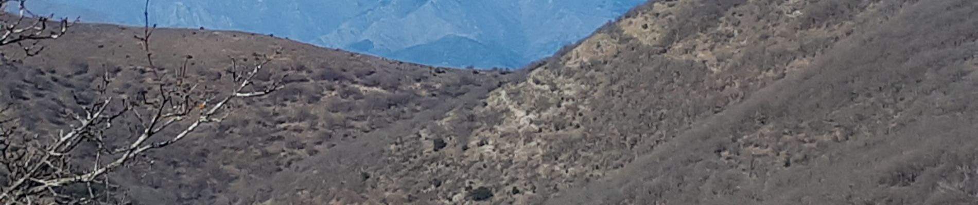
Trail Walking of 45 km to be discovered at Occitania, Gard, Sumène. This trail is proposed by Dupuybadonniere.
Photos


Positioning
Country:
France
Region :
Occitania
Department/Province :
Gard
Municipality :
Sumène
Location:
Unknown
Start:(Dec)
Start:(UTM)
562962 ; 4869178 (31T) N.
Comments
Je pensai pouvoir avoir la trace .gpx d'une rando que j'avais choisi à Sumène. Rien, on me demande d'enregistrer une application, ce n'est pas mon but, car nous sommes bourrés d'application sur un portable pour ne plus s'y retrouver. Déçu, car, je cherchai des intinéraires trail de plusieurs jours à parcourir en intinérance en recherchant mes hébergements quitte à modifier l'itinéraire avec ignrando. Dommage