


sentier de decouverte de furmeyer

kurt-vh
User
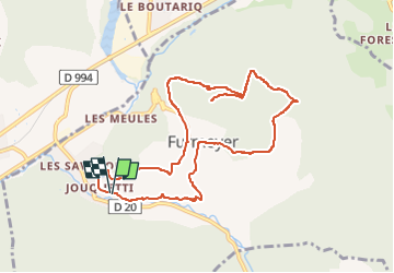

Length
10.2 km

Max alt
1309 m

Uphill gradient
573 m
Km-Effort
17.8 km

Min alt
857 m

Downhill gradient
574 m
Boucle
Yes
Creation date :
2023-02-07 18:09:25.235
Updated on :
2023-02-07 18:29:23.908
4h02
Difficulty : Difficult

FREE GPS app for hiking
 SityTrail
IGN / Geographical institutes
SityTrail Plus
The world is yours!
About
Trail Walking of 10.2 km to be discovered at Provence-Alpes-Côte d'Azur, Hautes-Alpes, Furmeyer. This trail is proposed by kurt-vh.
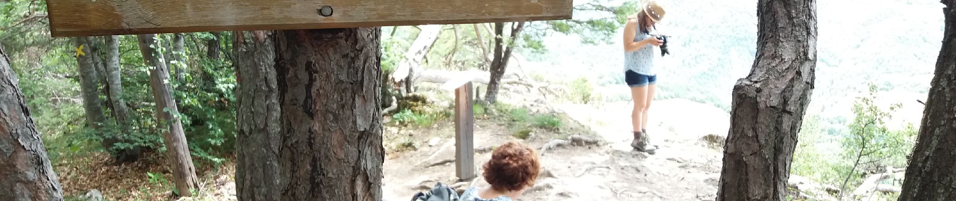
Photos


Positioning
Country:
France
Region :
Provence-Alpes-Côte d'Azur
Department/Province :
Hautes-Alpes
Municipality :
Furmeyer
Location:
Unknown
Start:(Dec)
Start:(UTM)
727134 ; 4935169 (31T) N.
Comments