


Parcours Chamonix 2023

Laurence Lallemand
User

Length
67 km

Max alt
2500 m

Uphill gradient
6588 m
Km-Effort
156 km

Min alt
1159 m

Downhill gradient
6867 m
Boucle
No
Creation date :
2023-02-12 10:42:13.622
Updated on :
2023-02-12 10:42:48.689
35h22
Difficulty : Very difficult

FREE GPS app for hiking
 SityTrail
IGN / Geographical institutes
SityTrail Plus
The world is yours!
About
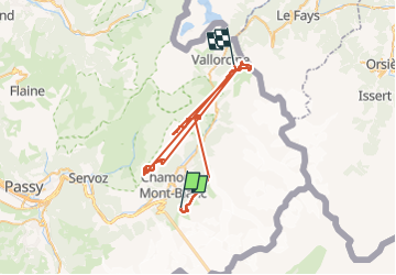
Trail Walking of 67 km to be discovered at Auvergne-Rhône-Alpes, Upper Savoy, Chamonix-Mont-Blanc. This trail is proposed by Laurence Lallemand.
Positioning
Country:
France
Region :
Auvergne-Rhône-Alpes
Department/Province :
Upper Savoy
Municipality :
Chamonix-Mont-Blanc
Location:
Unknown
Start:(Dec)
Start:(UTM)
335772 ; 5085723 (32T) N.
Comments