


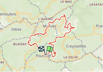
Pourcheves
© OpenStreetMap contributors


6h05
Difficulty : Very difficult


Length
23 km
Max alt
918 m
Uphill gradient
906 m
Km-Effort
35 km
Min alt
512 m
Downhill gradient
906 m
Boucle
Yes
Creation date :
2022-12-18 08:08:09.0
Updated on :
2023-02-12 13:22:53.568
6h05
Difficulty : Very difficult
FREE GPS app for hiking
 SityTrail
IGN / Geographical institutes
SityTrail Plus
The world is yours!
About
Trail Walking of 23 km to be discovered at Auvergne-Rhône-Alpes, Ardèche, Pourchères. This trail is proposed by 000151.528cee2ba5ea499bb7720e62b4a3eb52.0056.
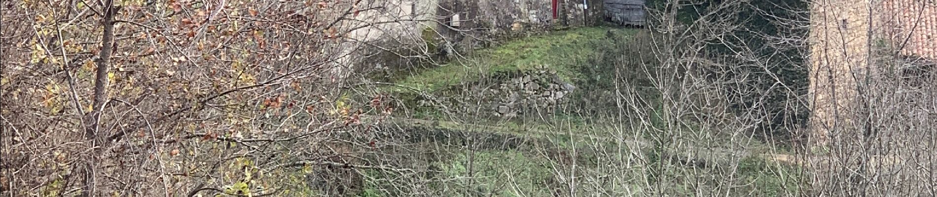
Photos


Positioning
Country:
France
Region :
Auvergne-Rhône-Alpes
Department/Province :
Ardèche
Municipality :
Pourchères
Location:
Unknown
Start:(Dec)
Start:(UTM)
619258 ; 4955943 (31T) N.
Comments