


Etang de Tullins

crocau
User
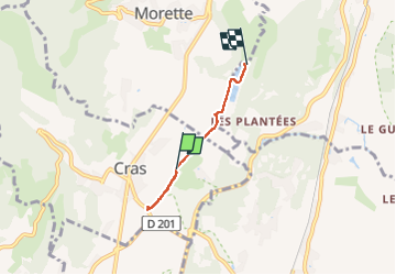

Length
3.2 km

Max alt
316 m

Uphill gradient
62 m
Km-Effort
4 km

Min alt
281 m

Downhill gradient
63 m
Boucle
No
Creation date :
2023-02-12 14:35:42.927
Updated on :
2023-02-12 15:21:14.141
45m
Difficulty : Easy

FREE GPS app for hiking
 SityTrail
IGN / Geographical institutes
SityTrail Plus
The world is yours!
About
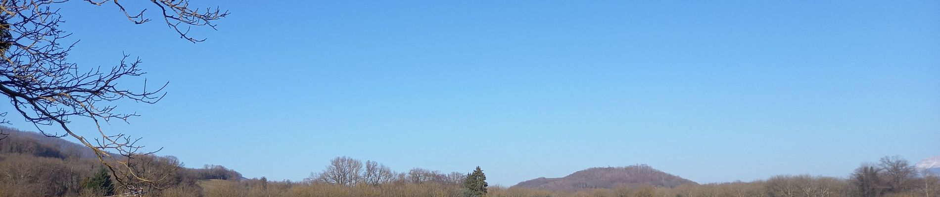
Trail Walking of 3.2 km to be discovered at Auvergne-Rhône-Alpes, Isère, Cras. This trail is proposed by crocau.
Photos

Positioning
Country:
France
Region :
Auvergne-Rhône-Alpes
Department/Province :
Isère
Municipality :
Cras
Location:
Unknown
Start:(Dec)
Start:(UTM)
692671 ; 5015674 (31T) N.
Comments
Une des nombreuses variantes de cette balade pleine de charme..