


6.2 km | 10.1 km-effort


User


FREE GPS app for hiking
 SityTrail
IGN / Geographical institutes
SityTrail World
The world is yours!
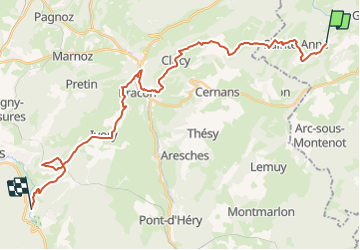
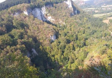
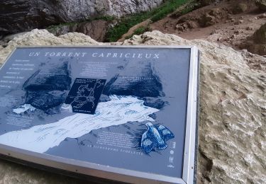
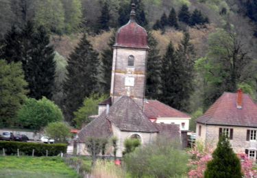
Trail Horseback riding of 30 km to be discovered at Bourgogne-Franche-Comté, Doubs, Crouzet-Migette. This trail is proposed by aeldin.
Walking
Walking
Walking
Walking
Walking
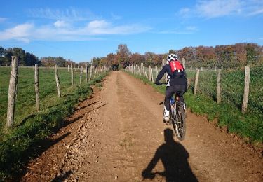
Mountain bike

Walking
Walking
Walking