


Haute Pierre - Roche de la mère Henry

Titinechris
User
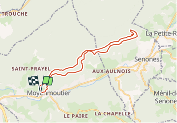

Length
15.1 km

Max alt
666 m

Uphill gradient
696 m
Km-Effort
24 km

Min alt
326 m

Downhill gradient
702 m
Boucle
Yes
Creation date :
2023-02-24 12:51:22.986
Updated on :
2023-02-24 12:51:25.892
2h30
Difficulty : Medium

FREE GPS app for hiking
 SityTrail
IGN / Geographical institutes
SityTrail Plus
The world is yours!
About
Trail Trail of 15.1 km to be discovered at Grand Est, Vosges, Moyenmoutier. This trail is proposed by Titinechris.
Positioning
Country:
France
Region :
Grand Est
Department/Province :
Vosges
Municipality :
Moyenmoutier
Location:
Unknown
Start:(Dec)
Start:(UTM)
345065 ; 5360658 (32U) N.
Comments