


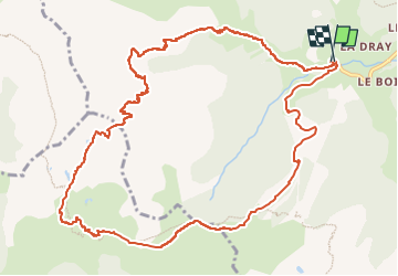

8.2 km | 17.9 km-effort

User GUIDE


FREE GPS app for hiking
 SityTrail
IGN / Geographical institutes
SityTrail World
The world is yours!
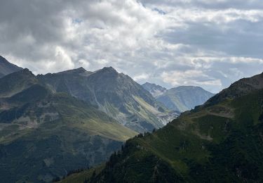
Trail Touring skiing of 13.4 km to be discovered at Auvergne-Rhône-Alpes, Savoy, Beaufort. This trail is proposed by nadd73.
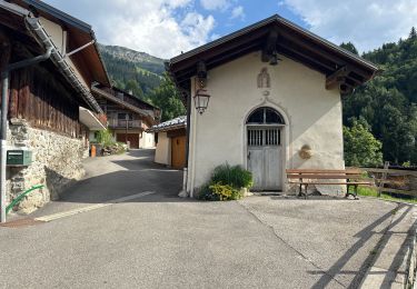
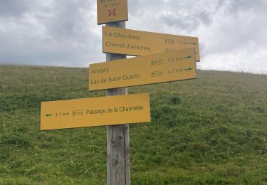
Départ du Planay.
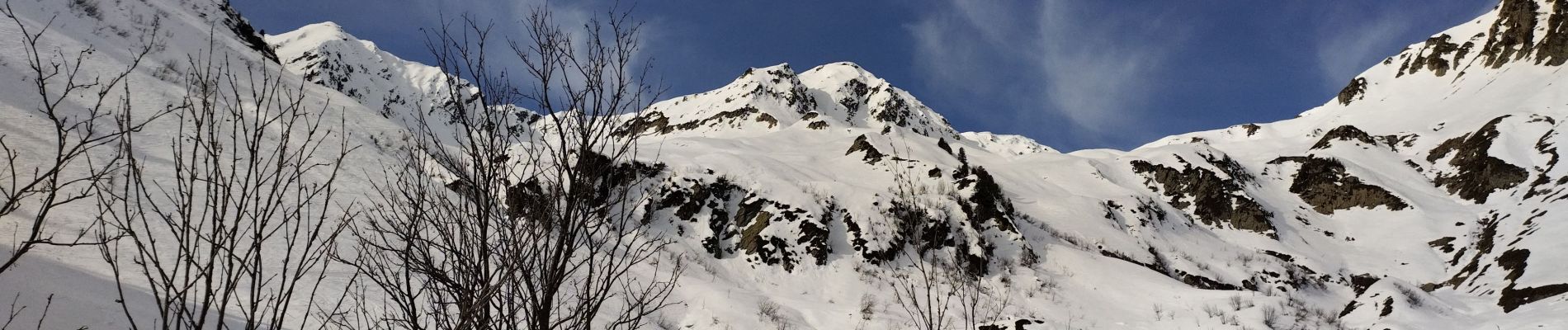
Couloir du grepets ce jour de monte avec skis sur le dos et crampons.
Beaucoup de vent c'est pour cela que je me suis arrêtée avant le sommet
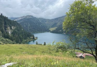
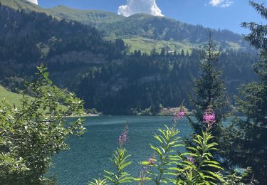
Descente sur le lac sans fond et Lavouet.
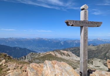
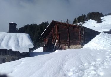
Au chalet du soufflet monter au col de la Bathie et plus pour récupérer les pistes qui mènent au parking.


Walking
Walking
Touring skiing
Walking
Walking
Walking
Walking
Walking
Walking