


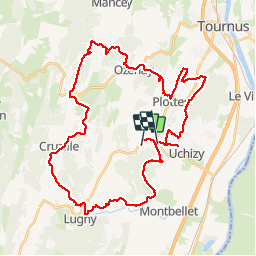

18.5 km | 25 km-effort


User


FREE GPS app for hiking
 SityTrail
IGN / Geographical institutes
SityTrail World
The world is yours!
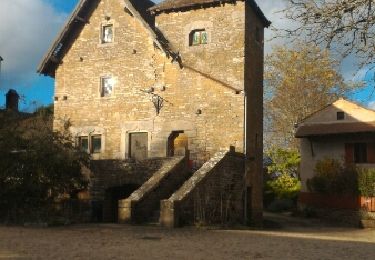
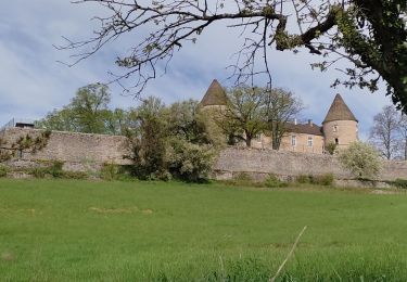
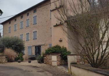
Trail Mountain bike of 43 km to be discovered at Bourgogne-Franche-Comté, Saône-et-Loire, Chardonnay. This trail is proposed by balli51.
Le 19/10/14
GPX File Created by Fitness v5.0.3 (20140926.0) for iOS
Walking
Walking
Walking

Walking
Walking

Walking
Walking
Walking
Walking