Trail Walking Val d'Oingt - Saint-Laurent d'Oingt - Oingt, Plus beau Village de France - Photo

Saint-Laurent d'Oingt - Oingt, Plus beau Village de France

 adye
adye

User

© OpenStreetMap contributors
Length
Length
8.8 km
Max alt
Max alt
542 m
Uphill gradient
Uphill gradient
279 m
Km-Effort
Km-Effort  
12.5 km
Min alt
Min alt
382 m
Downhill gradient
Downhill gradient
279 m
Boucle
Boucle
Yes
Creation date :
2023-03-12 16:50:58.795
Updated on :
2023-03-12 18:12:42.081

(0 Reviews)

Walking
Walking
2h20
Difficulty : Difficult

Scan this QR Code to open this trail in the SityTrail application

FREE GPS app for hiking

Logo SityTrail SityTrail

IGN / Geographical institutes

Download SityTrail from the App Store Download SityTrail from Google Play

Logo SityTrail SityTrail Plus

The world is yours!

Download SityTrail from the App Store Download SityTrail from Google Play Download SityTrail on Huawei AppGallery

About

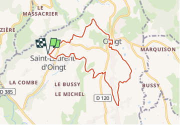
Trail Walking of 8.8 km to be discovered at Auvergne-Rhône-Alpes, Rhône, Val d'Oingt. This trail is proposed by adye.

Description

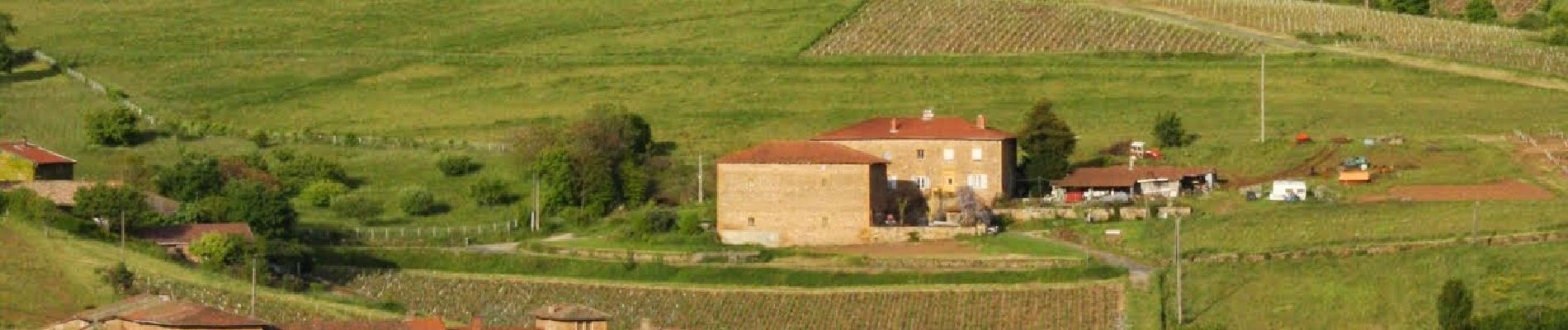
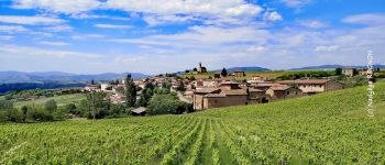
Chapelle de Saint-Laurent d'Oingt, montée au village d'Oingt (label Plus beau village de France) où vous pourrez admirez sa tour, ses ruelles pavées, ses façades en Pierres Dorées, ses boutiques de créateurs et son époustouflant panorama au pied de La Madone.
Retour par les crêtes face à Moiré, puis les Verchères face à Saint-Laurent d'Oingt.
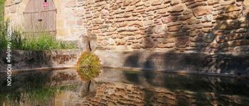
Retour par le hameau du Paradis avec son lavoir.

Elevation profile

Photos

Points of interest

Point of interest Val d'Oingt - Madone d'Oingt - Photo
adye
VAL D'OINGT 
Point of interest Val d'Oingt - Tour d'Oingt - Photo
adye
VAL D'OINGT 

Positioning

Country:
France
Region :
Auvergne-Rhône-Alpes
Department/Province :
Rhône
Municipality :
Val d'Oingt
Location:
Saint-Laurent-d'Oingt
Start:(UTM)
620983 ; 5089184 (31T) N.


Close
My subscriptions