


Montgenève Clavière

jlnessy
User
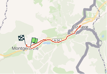

Length
6.5 km

Max alt
1875 m

Uphill gradient
125 m
Km-Effort
8.1 km

Min alt
1762 m

Downhill gradient
104 m
Boucle
No
Creation date :
2023-03-16 08:05:43.894
Updated on :
2023-03-16 11:22:17.624
3h15
Difficulty : Very easy

FREE GPS app for hiking
 SityTrail
IGN / Geographical institutes
SityTrail Plus
The world is yours!
About
Trail Walking of 6.5 km to be discovered at Provence-Alpes-Côte d'Azur, Hautes-Alpes, Montgenèvre. This trail is proposed by jlnessy.
Description
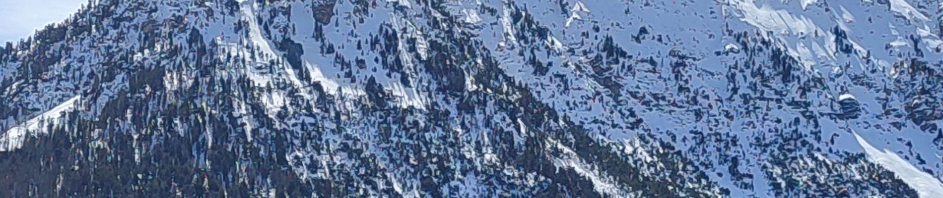
en raquettes
Photos

Positioning
Country:
France
Region :
Provence-Alpes-Côte d'Azur
Department/Province :
Hautes-Alpes
Municipality :
Montgenèvre
Location:
Unknown
Start:(Dec)
Start:(UTM)
320210 ; 4977754 (32T) N.
Comments