


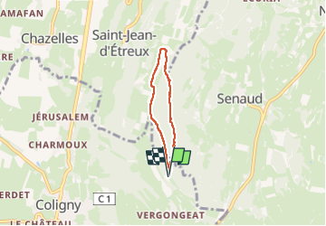

4.9 km | 7.5 km-effort

User


FREE GPS app for hiking
 SityTrail
IGN / Geographical institutes
SityTrail World
The world is yours!
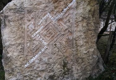
Trail Walking of 4.2 km to be discovered at Auvergne-Rhône-Alpes, Ain, Coligny. This trail is proposed by PascalK.

Walking

Walking
Walking

On foot

Walking
Walking
Walking
Walking
Walking
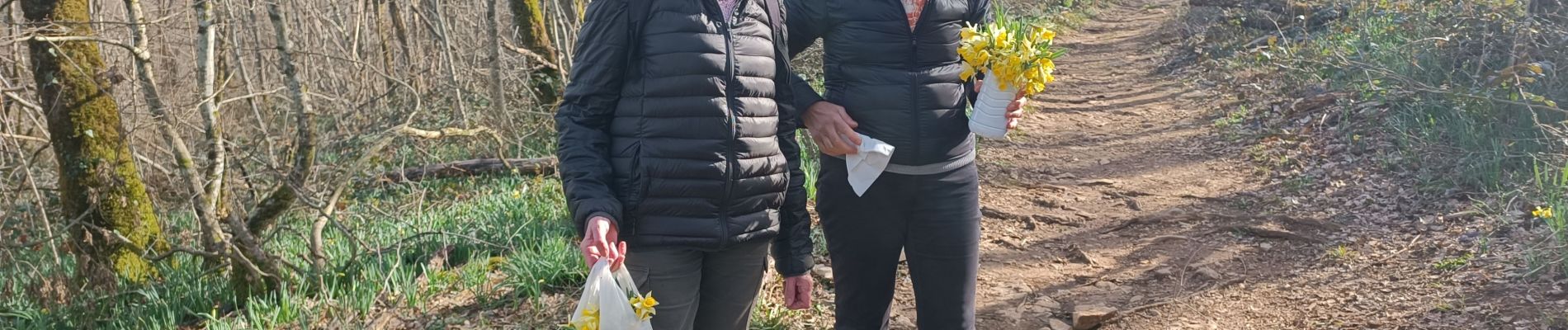
belle randonnée..avec une multitude de jonquilles en ce 10 mars... une petite partie goudronnee