


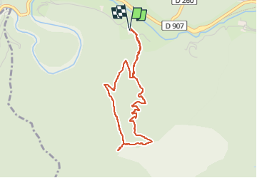


17.7 km | 26 km-effort

User


FREE GPS app for hiking
 SityTrail
IGN / Geographical institutes
SityTrail World
The world is yours!
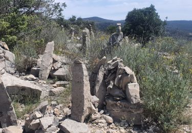
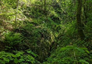
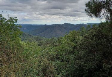
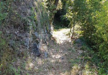
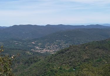
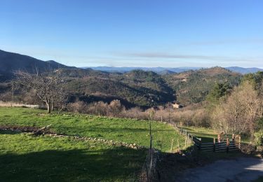
Trail Walking of 4 km to be discovered at Occitania, Gard, Saint-Jean-du-Gard. This trail is proposed by campingmasdelacam.
sentier de 4 km au départ du camping pour les résidents du mas de la cam


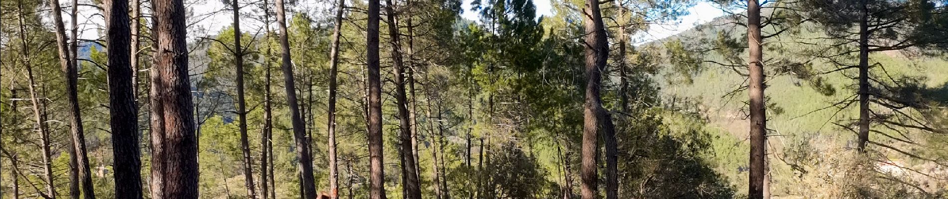
Walking

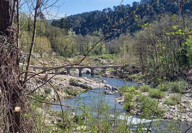
Walking
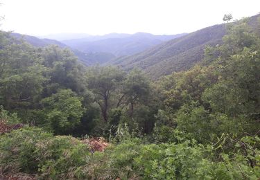
Walking
Walking
Walking
Walking
Walking
Walking