


chateau greittenstein

fredodlageo
User


Length
3.2 km

Max alt
409 m

Uphill gradient
144 m
Km-Effort
5.1 km

Min alt
278 m

Downhill gradient
148 m
Boucle
Yes
Creation date :
2014-12-10 00:00:00.0
Updated on :
2014-12-10 00:00:00.0
1h16
Difficulty : Medium

FREE GPS app for hiking
 SityTrail
IGN / Geographical institutes
SityTrail Plus
The world is yours!
About
Trail Walking of 3.2 km to be discovered at Grand Est, Bas-Rhin, Saverne. This trail is proposed by fredodlageo.
Description
20141101
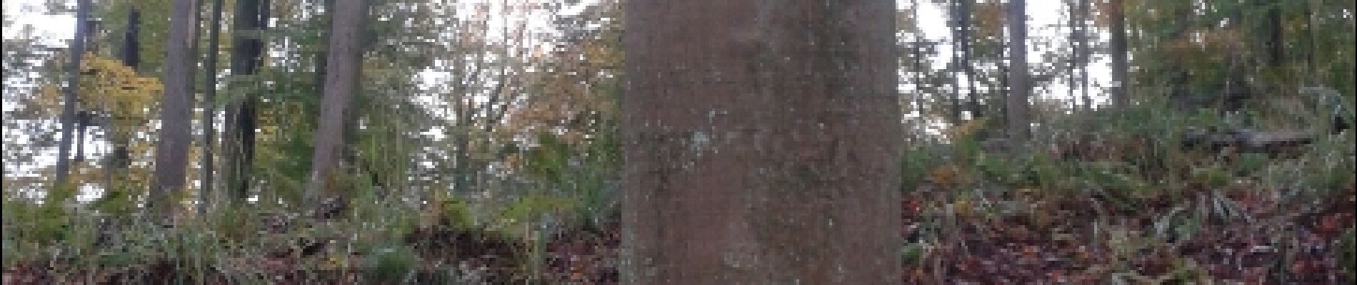
Photos


Positioning
Country:
France
Region :
Grand Est
Department/Province :
Bas-Rhin
Municipality :
Saverne
Location:
Unknown
Start:(Dec)
Start:(UTM)
377286 ; 5399663 (32U) N.
Comments