


reco VTT Chemins d'Isabelle

CDSM 55
User
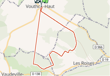

Length
7.9 km

Max alt
410 m

Uphill gradient
221 m
Km-Effort
10.9 km

Min alt
309 m

Downhill gradient
219 m
Boucle
Yes
Creation date :
2023-03-20 14:39:27.123
Updated on :
2023-03-20 17:02:48.48
1h17
Difficulty : Medium

FREE GPS app for hiking
 SityTrail
IGN / Geographical institutes
SityTrail Plus
The world is yours!
About
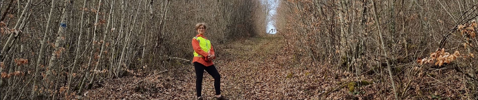
Trail Walking of 7.9 km to be discovered at Grand Est, Meuse, Vouthon-Haut. This trail is proposed by CDSM 55.
Photos

Positioning
Country:
France
Region :
Grand Est
Department/Province :
Meuse
Municipality :
Vouthon-Haut
Location:
Unknown
Start:(Dec)
Start:(UTM)
693452 ; 5372555 (31U) N.
Comments
un chouette toboggan, pas pour tout le monde à VTT