


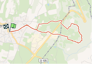

23 km | 27 km-effort


User


FREE GPS app for hiking
 SityTrail
IGN / Geographical institutes
SityTrail World
The world is yours!
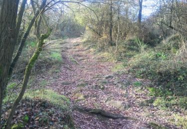
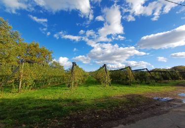
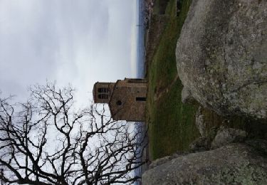
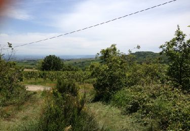
Trail Walking of 4.9 km to be discovered at Auvergne-Rhône-Alpes, Rhône, Taluyers. This trail is proposed by MIKARANDO.
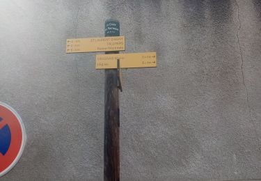
Départ : Place de l’Hôpital (Taluyers)
Boucle au lieu-dit Tournedieu (ou Tornadiau).
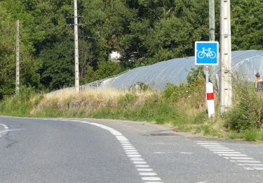
Mountain bike
Walking
Other activity
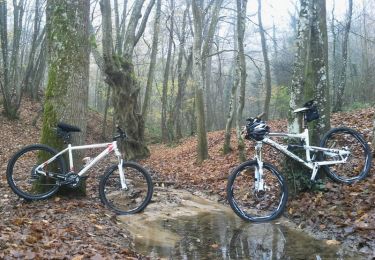
Mountain bike

Walking
On foot
Walking
Other activity
Walking