


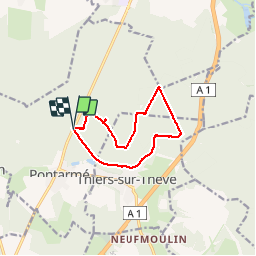
La Croix de Pontarmé_Le chêne de grès_trace GPS_9,6km

Pousscailleux
User

Length
9.6 km

Max alt
103 m

Uphill gradient
86 m
Km-Effort
10.7 km

Min alt
58 m

Downhill gradient
86 m
Boucle
Yes
Creation date :
2014-12-10 00:00:00.0
Updated on :
2014-12-10 00:00:00.0
2h37
Difficulty : Easy

FREE GPS app for hiking
 SityTrail
IGN / Geographical institutes
SityTrail Plus
The world is yours!
About
Trail Walking of 9.6 km to be discovered at Hauts-de-France, Oise, Pontarmé. This trail is proposed by Pousscailleux.
Description
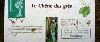
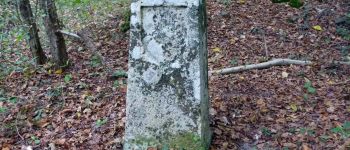
Départ de la Croix de Pontarmé.
Photos


Positioning
Country:
France
Region :
Hauts-de-France
Department/Province :
Oise
Municipality :
Pontarmé
Location:
Unknown
Start:(Dec)
Start:(UTM)
467585 ; 5445782 (31U) N.
Comments