


cabris croix et dolmen

fab4u
User
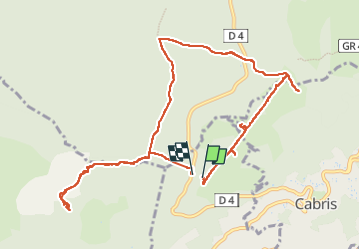

Length
12 km

Max alt
781 m

Uphill gradient
254 m
Km-Effort
15.5 km

Min alt
592 m

Downhill gradient
267 m
Boucle
Yes
Creation date :
2023-03-08 10:47:35.504
Updated on :
2023-03-29 10:48:13.386
3h26
Difficulty : Easy

FREE GPS app for hiking
 SityTrail
IGN / Geographical institutes
SityTrail Plus
The world is yours!
About
Trail Walking of 12 km to be discovered at Provence-Alpes-Côte d'Azur, Maritime Alps, Spéracèdes. This trail is proposed by fab4u.
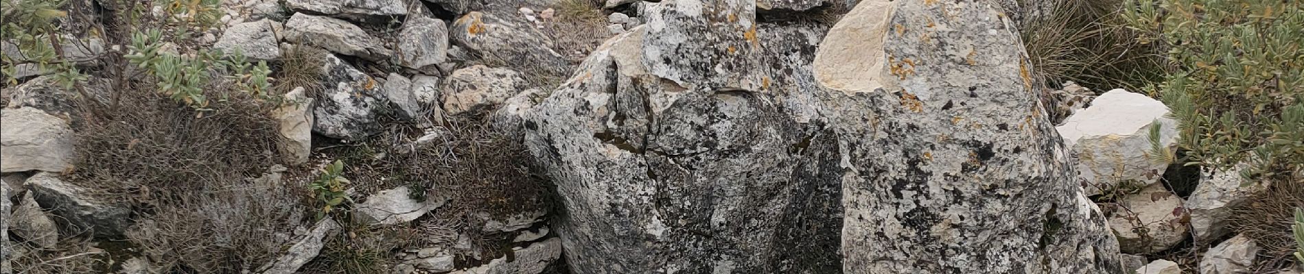
Photos


Positioning
Country:
France
Region :
Provence-Alpes-Côte d'Azur
Department/Province :
Maritime Alps
Municipality :
Spéracèdes
Location:
Unknown
Start:(Dec)
Start:(UTM)
327129 ; 4836297 (32T) N.
Comments