


Luzarches_Hameaux et Lavoirs_trace_9,2 km

Pousscailleux
User
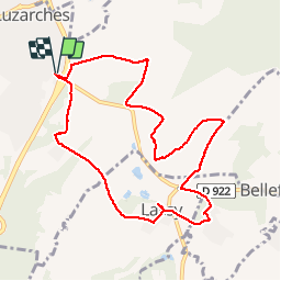

Length
9.2 km

Max alt
104 m

Uphill gradient
120 m
Km-Effort
10.8 km

Min alt
50 m

Downhill gradient
120 m
Boucle
Yes
Creation date :
2014-12-10 00:00:00.0
Updated on :
2014-12-10 00:00:00.0
2h40
Difficulty : Unknown

FREE GPS app for hiking
 SityTrail
IGN / Geographical institutes
SityTrail Plus
The world is yours!
About
Trail Walking of 9.2 km to be discovered at Ile-de-France, Val-d'Oise, Luzarches. This trail is proposed by Pousscailleux.
Description
Départ du parking de l'église et du cimetière de Luzarches
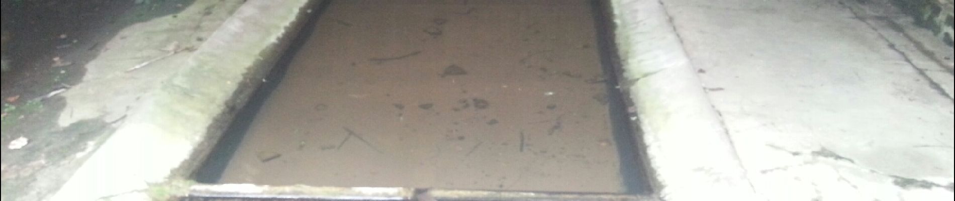
Photos

Positioning
Country:
France
Region :
Ile-de-France
Department/Province :
Val-d'Oise
Municipality :
Luzarches
Location:
Unknown
Start:(Dec)
Start:(UTM)
458331 ; 5440007 (31U) N.
Comments