


crepy 03 2023

bruno38
User
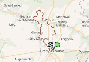

Length
28 km

Max alt
138 m

Uphill gradient
491 m
Km-Effort
35 km

Min alt
50 m

Downhill gradient
493 m
Boucle
Yes
Creation date :
2023-03-29 06:26:28.759
Updated on :
2023-03-29 14:31:08.252
5h48
Difficulty : Very difficult

FREE GPS app for hiking
 SityTrail
IGN / Geographical institutes
SityTrail Plus
The world is yours!
About
Trail Walking of 28 km to be discovered at Hauts-de-France, Oise, Crépy-en-Valois. This trail is proposed by bruno38.
Positioning
Country:
France
Region :
Hauts-de-France
Department/Province :
Oise
Municipality :
Crépy-en-Valois
Location:
Unknown
Start:(Dec)
Start:(UTM)
492342 ; 5453801 (31U) N.
Comments