


televie personne

annsoder
User

Length
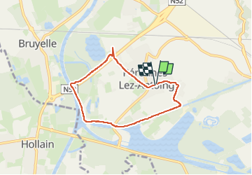
5.7 km

Max alt
28 m

Uphill gradient
28 m
Km-Effort
6 km

Min alt
12 m

Downhill gradient
28 m
Boucle
Yes
Creation date :
2023-04-02 10:14:40.651
Updated on :
2023-04-02 11:30:08.827
1h14
Difficulty : Easy

FREE GPS app for hiking
 SityTrail
IGN / Geographical institutes
SityTrail Plus
The world is yours!
About
Trail Walking of 5.7 km to be discovered at Wallonia, Hainaut, Antoing. This trail is proposed by annsoder.
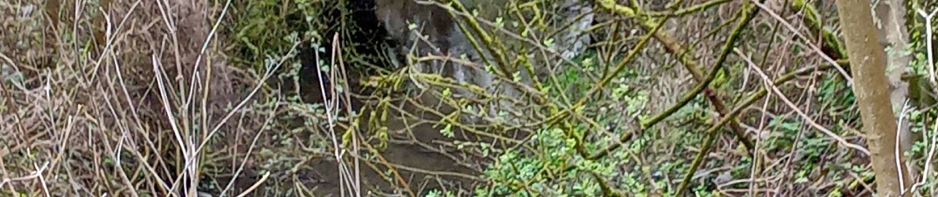
Photos


Positioning
Country:
Belgium
Region :
Wallonia
Department/Province :
Hainaut
Municipality :
Antoing
Location:
Péronnes
Start:(Dec)
Start:(UTM)
532329 ; 5599999 (31U) N.
Comments