


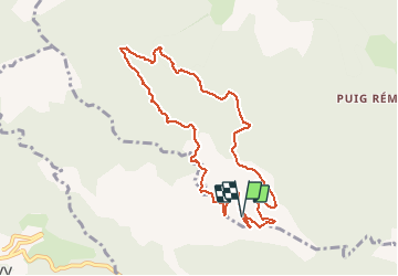

12.8 km | 23 km-effort


User


FREE GPS app for hiking
 SityTrail
IGN / Geographical institutes
SityTrail World
The world is yours!
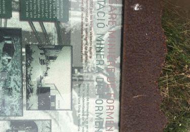
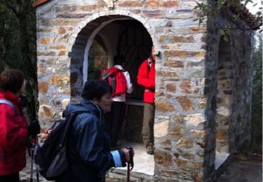
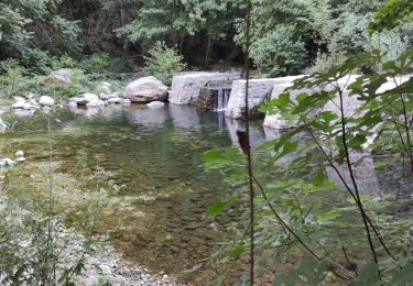
Trail Walking of 10.2 km to be discovered at Occitania, Pyrénées-Orientales, Montbolo. This trail is proposed by force.
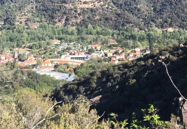
Chataigniers et chênes verts :
Chataignes et champignons à l'automne


Walking
Walking
Walking

Walking

Walking
Walking

Walking
Walking

Walking