


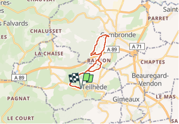
Teilhéde Combronde

Gegetop
User

Length
10.7 km

Max alt
584 m

Uphill gradient
250 m
Km-Effort
14 km

Min alt
411 m

Downhill gradient
250 m
Boucle
Yes
Creation date :
2023-04-05 09:25:16.412
Updated on :
2023-04-05 13:02:13.657
3h01
Difficulty : Easy
2h51
Difficulty : Easy

FREE GPS app for hiking
 SityTrail
IGN / Geographical institutes
SityTrail Plus
The world is yours!
About
Trail Walking of 10.7 km to be discovered at Auvergne-Rhône-Alpes, Puy-de-Dôme, Teilhède. This trail is proposed by Gegetop.
Description
Boucle en forme de huit.
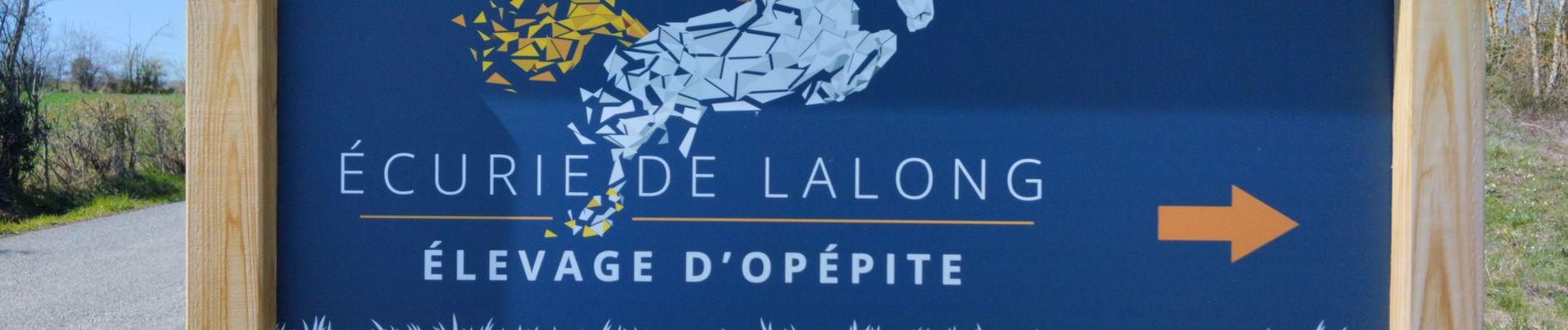
Photos

Positioning
Country:
France
Region :
Auvergne-Rhône-Alpes
Department/Province :
Puy-de-Dôme
Municipality :
Teilhède
Location:
Unknown
Start:(Dec)
Start:(UTM)
504911 ; 5089124 (31T) N.
Comments