


2023-04-05_22h40m59_20230119_VAUCOULEURS_rando_LL_Vaucouleurs_Chalaines_Burey-en-Vaux(1)

nfranche
User
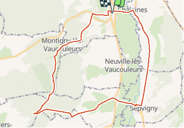


5h32
Difficulty : Easy

FREE GPS app for hiking
 SityTrail
IGN / Geographical institutes
SityTrail Plus
The world is yours!
About
Trail Walking of 20 km to be discovered at Grand Est, Meuse, Vaucouleurs. This trail is proposed by nfranche.
Description
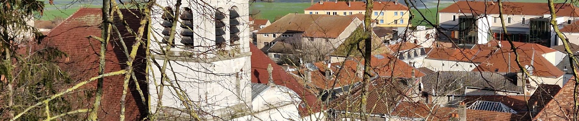
Rando facile mais perturbée par des inondations qui nous ont obligés de démarrer sur la route au lieu du sentier prévu ! Pique-nique possible dans le vallon de Saint-Anne à côté de la chapelle éponyme. Découverte du château de Vaucouleurs dans le haut du village et offrant de belles vues sur la vallée. Rando sans difficulté particulière.
Photos
 - Photo 1")
 - Photo 2")
 - Photo 3")
 - Photo 4")
 - Photo 5")
 - Photo 6")
 - Photo 7")
Positioning
Comments