


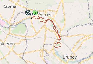
Rando douce
© OpenStreetMap contributors


2h15
Difficulty : Unknown


Length
7 km
Max alt
53 m
Uphill gradient
52 m
Km-Effort
7.7 km
Min alt
36 m
Downhill gradient
52 m
Boucle
Yes
Creation date :
2023-04-06 07:19:30.0
Updated on :
2023-04-06 10:09:31.0
2h15
Difficulty : Unknown
FREE GPS app for hiking
 SityTrail
IGN / Geographical institutes
SityTrail Plus
The world is yours!
About
Trail Walking of 7 km to be discovered at Ile-de-France, Essonne, Yerres. This trail is proposed by 001185.1a411e07e05844e0b21535b8a6fe40df.0829.
Description
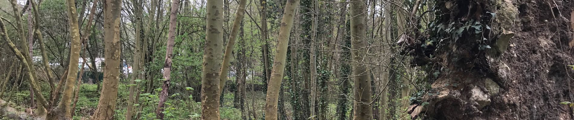
Marche
Photos


Positioning
Country:
France
Region :
Ile-de-France
Department/Province :
Essonne
Municipality :
Yerres
Location:
Unknown
Start:(Dec)
Start:(UTM)
461687 ; 5395916 (31U) N.
Comments